Overview of the North Sea Islands in Germany
The North Sea islands, which we consider to be among the most beautiful travel destinations in Germany, are divided into North Frisian and East Frisian islands. These are the largest German North Sea islands, sorted by size.
Sylt is one of the most popular holiday destinations on the North Sea - Photo: Markus Scholz
Sylt
Föhr
Pellworm
Borkum
Norderney
Amrum
Langeoog
Spiekeroog
Juist
Langeneß
Wangerooge
Baltrum
Hooge
Heligoland
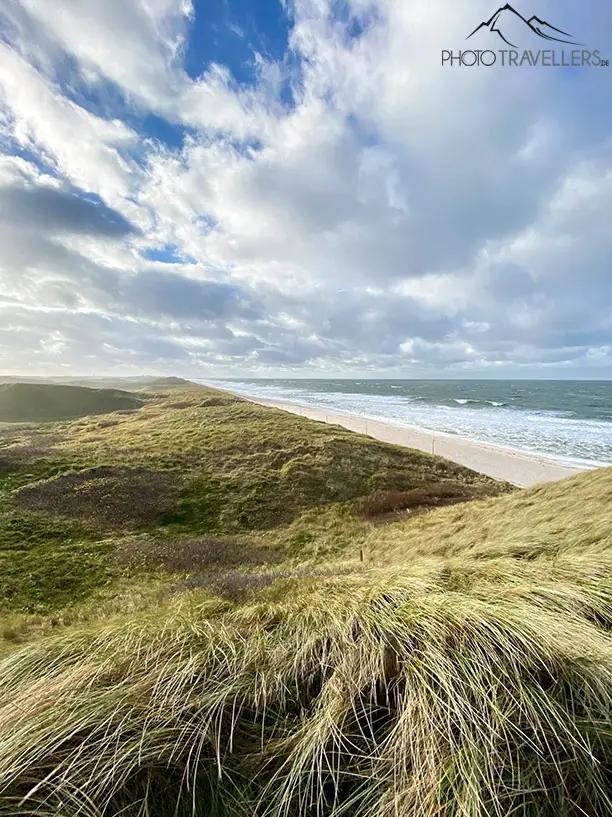
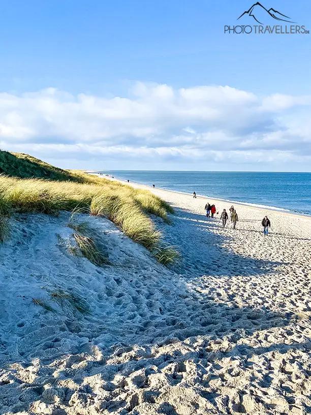
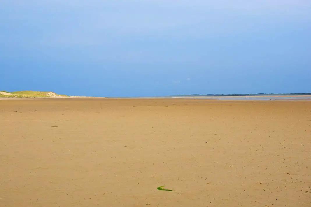
What could be better on Sylt than a long walk on the beach? - Photo: Markus Scholz
Sylt is the largest of the German North Sea islands. And probably also the best known. It is one of the North Frisian islands and is also the most northerly island. Anyone who has ever been to Sylt will also know the spa towns of Westerland, Kampen and Wenningstedt. The former even had a song dedicated to it by the doctors.
Since 1927, Sylt has been connected to the German mainland via the nine-kilometre-long Hindenburg Dam. The island is completely exposed to the harsh climate of the sea and its size changes due to constant erosion. Sylt is also known for naturism and nude bathing. The most famous beach is the 40-kilometre-long Weststrand.
Here you will find an overview of the top sights on Sylt.
Getting there
You don't have to take a boat to get to Sylt, but can easily take the car train over the nine-kilometre-long Hindenburgdamm from Niebüll. The journey takes about 35 minutes.
The ferry takes you to the Danish island of Rømø. Here you sail on the open sea to List and then to Sylt.
Top sights on Sylt
Red cliff - the island is famous for this. The red sand formations of the cliff are something very special.
Old Frisian House - here you can find out all about the living culture and customs on Sylt
Denghoog - the ancient stone tomb was built more than 5000 years ago
Erlebniszentrum Naturgewalten - information centre with interactive films about the effects of the forces of nature on Sylt
Museum of local history - here you can find out everything about the history of the island, from its origins to the history of seafaring
St. Martin's Church - the oldest church on Sylt
Church of St. Nicolai - the largest church on Sylt
Tinnumburg - an eight-metre-high circular rampart. The huge rampart is 120 metres wide and over 2000 years old. It is well worth a visit
Shifting sand dune in Listland
Wadden Sea - is the largest national park in Germany
Excursions and hikes on Sylt
There are 10 nature reserves on Sylt. Everywhere on the island offers short trips, walks and great hikes.
Hörnum-Odde - in the dune and heath landscape you can go on fantastic hikes. The area is a nature reserve
Kliffweg - has the name "the green oblivion" - is said to be one of the most beautiful walks on the island. You can get from Keitum to Kampen on great paths.
Morsum Cliff - this nature reserve combines heath landscape, the Wadden Sea and megalithic tombs all in one
Rantum Basin - habitat of over 30 species of sea and water birds
Vogelkoje - beautiful nature reserve
Braderuper Heide - beautiful heathland to explore
Weather on Sylt:
As Sylt is the northernmost of the German islands, it is very pleasant on average, but it doesn't get really hot there. On average you should expect 17 degrees. The warmest month is August. Here the thermometer climbs to 19 degrees. In the winter months of January and February, it is only 2 to 3 degrees.
2. föhr
Föhr is the second largest North Sea island in Germany. Föhr also calls itself the Frisian Caribbean. Frisian houses, lighthouses and Dutch mills - that's what Föhr has in common. The typical little houses with their distinctive roofs are beautiful.
Getting there
From Dagebüll you can take the ferry to the ferry port of Wyk several times a day. A trip to the neighbouring island of Amrum by ferry is also popular.
Top sights on Föhr
three medieval churches from the 12th and 13th centuries - in their graveyards are painted, so-called talking gravestones that tell seafarers' stories (St. Johannis, St. Laurentii and St. Nicolai)
Frisian houses - houses with the typical roof. The oldest house is called Haus Olesen
Frisian Museum - in the 100-year-old local history and natural history museum you can learn everything about Föhr and North Frisia.
Ride on the Frisian Express - a small train takes you all over the island.
the three Halligen Hooge, Langeneß and Gröde. Halligen are so-called marshland islands. During storm tides they can be flooded - great vegetation.
Lembecksburg - this complex with up to 10-metre-high ramparts used to belong to a rampart castle from the Viking Age.
Bronze Age burial mounds - there are still 17 of them on the island.
Stellys Hüüs - pottery workshop for shopping and watching
5 typical Dutch windmills in Wyk, Oldsum, Borgsum and Wrixum
Boldixumer Vogelkoje - can be visited, used to catch wild ducks in the past
Südstrand - popular bathing beach between Wyk and Utersum
Popular sunset spot: Dunsum dyke with view of Sylt
Sunset on Föhr
Excursions and walks
Sightseeing flights over the Wadden Sea, the neighbouring islands and the North Frisian mainland
Walk in Marsch and Geestland
Hike to the salt marshes - meadows washed around and over by the sea with exciting flora and fauna
Walk through the Wadden Sea - UNESCO World Heritage Site - numerous birds to discover - guided mudflat walks to the neighbouring island of Amrum possible
Weather on Föhr
The average temperature on Föhr is up to 19 degrees in August, the warmest month. In the winter months of January and February, the maximum temperature is between 2 and 3 degrees.
Further beach and sea - the North Sea is beautiful 3. Pellworm
Pellworm is also very popular among holidaymakers. The island has been greatly altered by the sea and the tides over the centuries. Often parts were demolished or disappeared completely. Today, an 8-metre high and 25-kilometre long dike has been built to protect the island from the rough sea. There is no sandy beach on Pellworm, but there are bathing places.
Getting there
You can also get to the island from the mainland by regular ferry service. The waterway there and back is 14 kilometres from the Strucklahnungshörn/Nordstrand jetty. There is a charge for parking at the ferry terminal. A 12-hour ticket costs 3 euros.
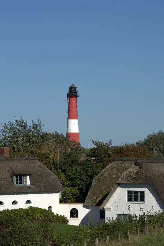
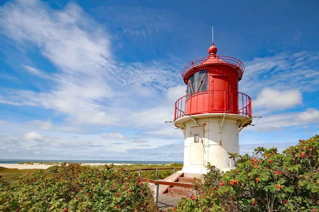
Lighthouse and typical houses with Frisian roofs on Pellworm
Top sights on Pellworm
Visit of the Halligen Süderoog and Südfall
Visit to Tammensiel - fishing harbour for the Pellworm crab cutters
Pellworm lighthouse - 38 metres high and built in 1906. Incidentally, the first German registry office on a lighthouse is located here.
Rungholt Museum Bahnsen - local historian Hellmut Bahnsen shows his finds from the mudflats
Wadden Sea Museum Liermann - documents 50 years of the Hallig postman Heinrich Liermann's postal service (by appointment; Tel: 04844/285)
Island museum in Tammensiel - history of Pellworm and about dyke construction
Ruined tower of the Old Church - the Frisian cathedral collapsed in 1611. The Old Church houses the Schnitger organ by the organ builder of the same name. Built in 1711, the organ, famous for its sound, has witnessed many recordings by well-known organists.
Nordermühle - it was built in 1777
Hafen Pub Pellworm - made famous by the programme TV total with Stefan Raab. Since then, it has been the pub with the most likes on Facebook, ahead of the → Hofbräuhaus in Munich and the Hard Rock Café → New York.
Excursions and hikes
Boat tours through the UNESCO Wadden Sea World Heritage Site to the sands, seal banks, the Halligen and over to other North Sea islands.
Excursion to the Vogelkoje, which is now a nature reserve
Hikes in the Wadden Sea - UNESCO World Heritage Site
Day trips to the mainland to Seebüll to the Emil Nolde Museum, to the Storm town of Husum and to the Multimar Wattforum in Tönning
Trip to Norderoogsand - lonely sandbank in the middle of the Wadden Sea National Park. Bookable via the Schipperboat of the Hellmann Brothers (information trip with the National Park Ranger)
Trip with the Adler Express - every Thursday from April to November. Departure is at the deep-water jetty for your day trip to Hooge, Sylt, Amrum, Helgoland or Föhr.
Trip with the island bus - daily from April to October and during holiday periods. Departure at 13:45 from the old harbour. No advance booking necessary
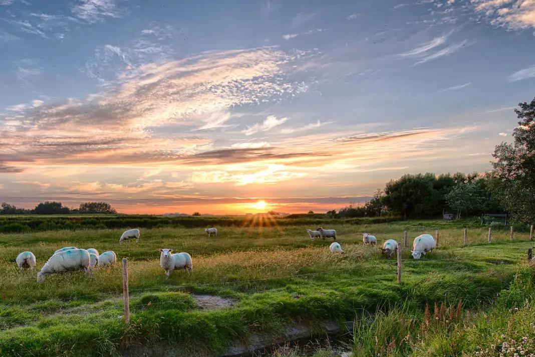
Sheep on Pellworm
Weather on Pellworm
In the summer months from June to August it gets up to 21 degrees on Pellworm. In the winter months the highest temperatures are 3 degrees. The rainiest months are September, October and November.
⭐ Recommended travel guides to the North Sea Islands
I really like to curl up in the corner with a travel guide before my trip and give myself a bit of anticipation. In addition, I can find out in advance which places I am particularly interested in at my destination.
4. Borkum
Borkum is the largest of the inhabited East Frisian islands. Some sections of the island and the tidal flats are part of the Lower Saxony Wadden Sea National Park.
Traditional customs still take place on Borkum. Easter time, for example, is special compared to the other islands. There is an Osterfür (fire). A May Boom is erected at Whitsun and St. Nicholas is also celebrated in a special way. If these festivals interest you, I advise you to experience them on Borkum.
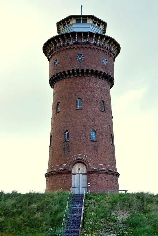
The famous water tower on Borkum
Getting there
From Emden in Lower Saxony, take the car ferry to Borkum. The journey takes two hours. The passenger ferry takes one hour. From Emden you can easily get to Bremen by train.
Top sights on Borkum
Maritime marks - they are used for orientation by sailors and for steering. The Great Kaap, the Small Kaap and the West Kaap are red beacons up to 23 metres high, markers built of stone.
Old Lighthouse - it was built in 1576. The 45-metre high tower is rectangular and very imposing. It is the oldest building on the island. Unfortunately closed
New lighthouse - it can be visited. The round tower is 60.3 metres high and you have to climb 319 steps to the top.
Little lighthouse - it is small and decorated in the typical red and white colours. It was built between 1888 and 1889.
Lightship Borkumriff - it has been moored in Borkum's shelter harbour since 1989. As the name suggests, it was a lightship. Today you can learn a lot about the ship and the Lower Saxony Wadden Sea National Park there.
Dykhus museum of local history - it is located by the old lighthouse. The special thing about the entrance: you walk through two giant whale jaws.
Fence made of whalebone - in Wilhelm-Bakker-Straße you can still see one of the few traditional fences made of whalebone. At that time, the most successful whaler captain of Borkum lived here.
Most north-westerly point - on Borkum's beach promenade is the most north-westerly point on land in Germany. It is marked
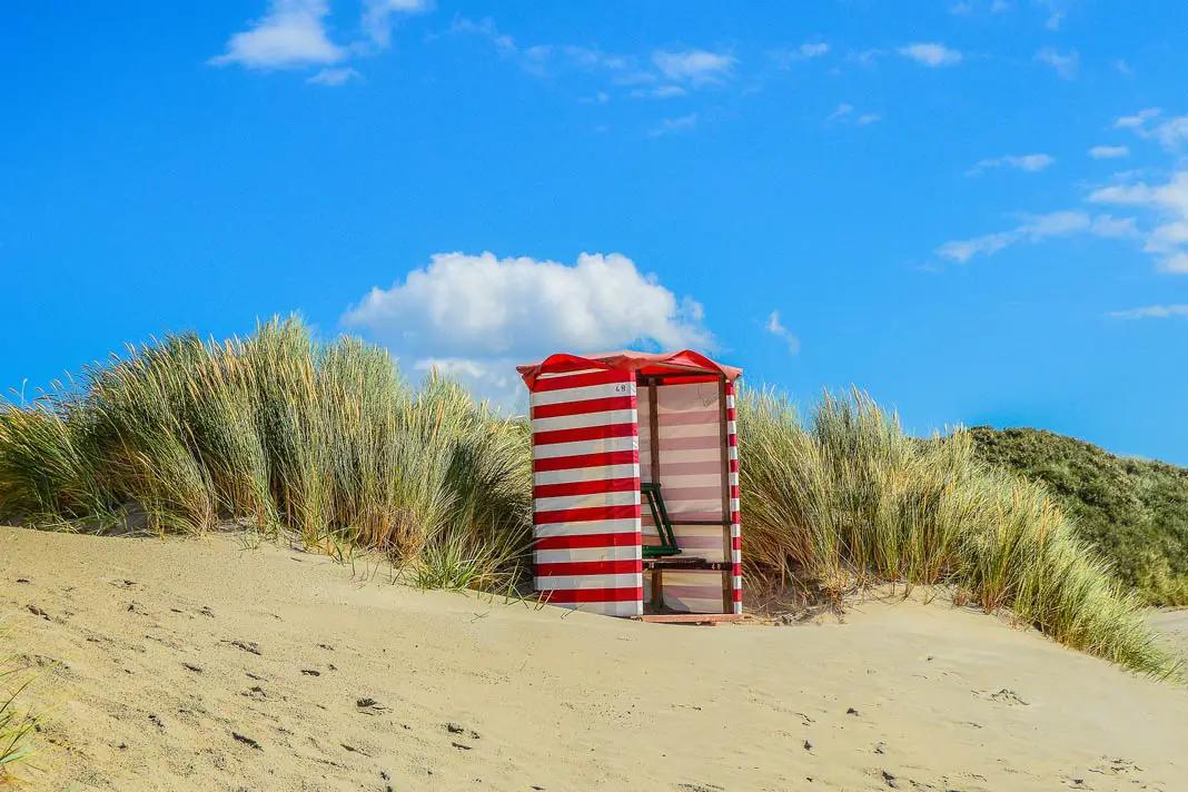
A beach chair on Borkum
Excursions and hikes
There are 120 kilometres of hiking and cycling trails on Borkum. It is worth exploring the island.
Hike from the New Lighthouse through the Greune Stee
Hike from Ostland to Hooge Hörn
Hike from the New Lighthouse to the Emmich Monument
Hike to Borkum's eastern tip Hoge Hören - important: only set off at low tide
Cycling once around the island in 20 kilometres
Weather on Borkum
The average temperature is 10 degrees on the island of Borkum. July and August are the warmest months with over 21 degrees. January to March is also 5 to 8 degrees. So it doesn't get really cold. The rainiest months are November, December and January.
5. Norderney
Norderney is a well-known climatic health resort. In 1797, the island was declared the first Royal Prussian seaside resort. The East Frisian island impresses with its beautiful nature reserve, which is part of the Lower Saxony Wadden Sea National Park. We have an extra article just on the island with the most beautiful sights on Norderney.
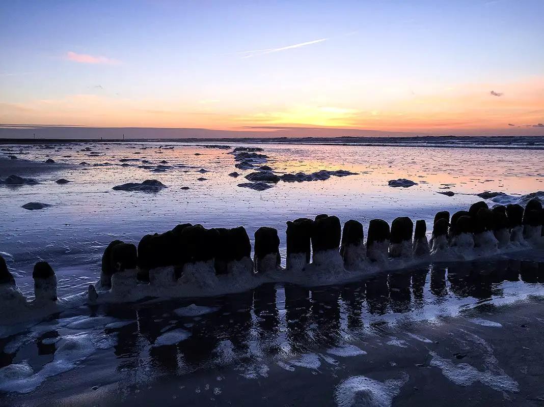
Beautiful evening atmosphere on the island Photo: Chris Flechtner
Getting there
The ferry takes 55 minutes from Norddeich to the island of Norderney.
Top sights on Norderney
The cape - a landmark for shipping and the symbol of Norderney. It is 13 metres high and made of stone. A wooden version was built in 1848
Lighthouse - the lighthouse was built in the middle of the island from 1872 to 1874.
Water tower - it was built in 1930 and is 41 metres high. It is the second highest building on the island
Water protection and bird breeding area within the south beach polder - it has been part of the national park since 1961. This makes it the oldest nature reserve on the island.
Ostbad Weiße Düne and nudist bathing beach
bade-museum - in this museum you can find out everything about the bathing tradition of the North Sea spa resort
Norderneyer Fischerhausmuseum - this is the island's local history museum. It has stood in the Argonner Wäldchen since 1937. It is a replica of an old fishing house from the 17th century.
The rescue cruiser Eugen - it is moored in the harbour. Next to it, in the former lifeboat shed West, there is a historical museum
Marienhöhe - an 11.5 metre high dune. Heinrich Heine is said to have written his poem Lied am Meer here. The name was dedicated to Queen Marie of Hanover. She also had a small pavilion built there, which still exists today.
Imperial post office - since Norderney became the first Royal Prussian seaside resort, it also needed a post office. The huge building is now a listed building
Kaiser Wilhelm Monument - it was erected in 1899 at the junction of Herrenpfad/Friedrichsstraße/Knyphausenstraße and is 13 metres high.
Selden Rüst island windmill - it was built in 1862 and is now a listed building. In the past, up to 5 tonnes of grain were ground here every day.
Napoleon redoubt - as smuggling flourished on the island, a rampart was built in 1811 to combat smugglers. Today there is also a war memorial there. The Swan Pond, which also belongs to the area, is part of the spa park. The Napoleon Redoubt is the oldest building and cultural monument to have survived in its original state.
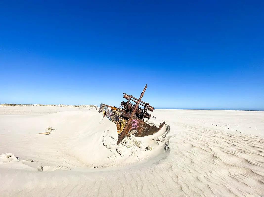
The wreck on Norderney stranded while trying to uncover another ship - Photo: Chris Flechtner
Excursions and walks
Excursion to the Wadden Sea - the Hohe Plate, Hohes Riff and Lütetsburger Plate are well known. The Busetief, Wagengat, and Ostbalje channels are particularly beautiful. All areas belong to the Lower Saxony Wadden Sea National Park.
Hike to the shipwreck
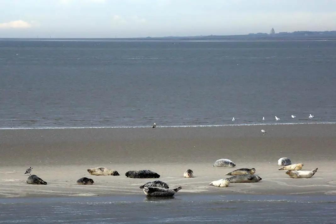
The seal banks of Norderney - Photo: Chris Flechtner
Weather on Norderney
Warm months are June, July, August and September. The warmest months are August with a maximum of 21 degrees. The mild winter months are particularly noticeable. It can usually be as low as 7 degrees.
6. Amrum
Amrum is known for its seaside resort of Nebel and the seaside spas of Wittdün and Norddorf. It is also one of the most tree-rich of the North Sea islands. The island has a lot to offer for culture fans in particular. Twelve buildings are listed monuments.
The special feature - there are numerous graves and stone settlements from the Stone Age. You can also find tumuli dating back to the Bronze Age and the Viking Age on Amrum. By the way, this reminds me of the Odsherred area in Denmark.
The island of Amrum with dunes and lighthouse
Getting there
From the mainland, from Dagebüll, you take the ferry to the port of Wittdün on Amrum. The journey takes about 90 minutes. The more frequent connection is via the neighbouring island of Föhr and takes 120 minutes.
Top sights on Amrum
Amrum lighthouse - at just under 42 metres, it is the largest lighthouse on the German North Sea coast. It also stands on a 25-metre-high dune. It was built in 1875
Norddorf lighthouse - this red and white lighthouse was built in 1906.
Nebel lighthouse - built in 1981, similar to Wittdün lighthouse.
Amrum windmill - it is considered the island's landmark and is a listed building. It was built in 1770 and is considered the oldest mill in Schleswig-Holstein. Today it is a museum of local history and also a registry office.
St Clement's Church - mentioned in a document in 1240. Inside are precious pieces from the early Gothic, Romanesque and late Gothic periods. In the cemetery there are so-called speaking gravestones. They tell the story of the deceased
Hunebed of Nebel - the Hunebed is also called Dolmen Steenodde and dates from the Neolithic period. It is located at the edge of the village of Steenodde.
Esenhugh - this is the largest burial mound on Amrum. It is the oldest of the burial mounds and is thought to date back to the Stone or Bronze Age.
Steenodde burial ground - it was probably laid out in the Viking Age. There are said to have been 80 burial mounds here.
Öömrang Hüs - it was built in 1751 and shows the living culture on the island. Everything is still as originally furnished
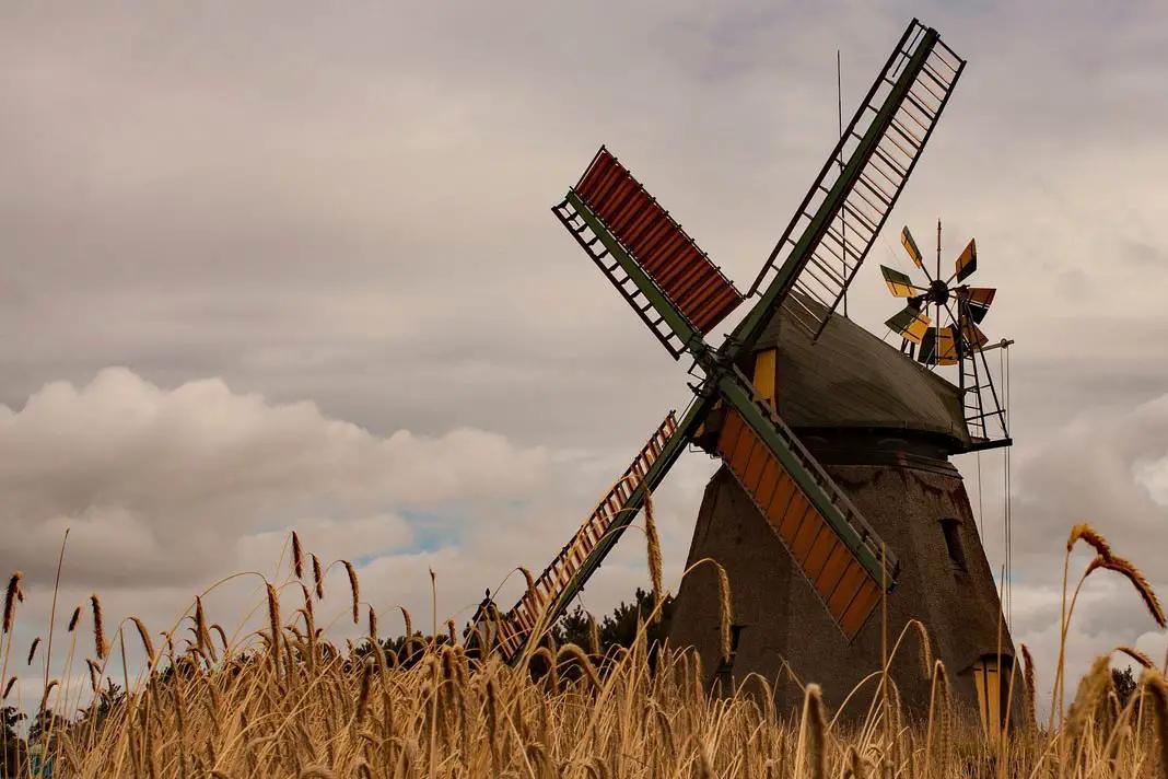
The well-known windmills on Amrum
Excursions and hikes
Amrum dunes nature reserve - this area has borne the name since 1971 and here you will find almost all the dune areas on the island
Hike in the Vogelkoje Meeram - since 2011, the archaeological area with its biotopes has been a nature experience area
Amrumer Odde - a nature reserve since 1936
Schleswig-Holstein Wadden Sea National Park - part of Amrum and a UNESCO World Heritage Site
Kniepsand - this beach is 15 kilometres long and 1.5 kilometres wide, making it one of the largest continuous bathing beaches in Europe.
Weather on Amrum
The average temperature on the island in August is between 14 and 19 degrees. The coolest months are January and February. Here it can also be sub-zero at times. Nevertheless, the climate on this island is also mild.
7. Langeoog
The East Frisian island of Langeoog is fantastically beautiful. It is famous for its 14-kilometre-long sandy beach. In addition, a huge dune landscape stretches across the island. Some of them are 20 metres high. Parts of the island belong to the Lower Saxony Wadden Sea National Park.
Incidentally, island detective stories have been written about Langeoog. The title Langeoog Lesson by the writer Antje Friedrichs is well-known.
How to get there
You can get to Langeoog from the mainland by ferry from Bensersiel.
Top sights
Flinthörn - this area is located in the south-west of the island. It is a salt marsh and dune area. However, it is under nature protection. However, you are allowed to hike along the Flinthörn nature trail.
Polder dike - in the south lies the dike built between 1932 and 1933. It is also called the Schniederdamm
Schloppsee - this lake lies near the Großer Schlopp, another lake
Melkhörndünen - this dune was the highest natural elevation in East Frisia at over 20 metres. It is still the highest elevation on the island. The name comes from the fact that cows were milked here until 1952.
Water tower - it is the island's landmark. It was built in 1909 and from here you can look out over the island. It is located near the Kaapdünen
Langeoog spa centre - the spa garden with spa centre has been on the island since 1983. You will also find a seawater wave bath there. The water temperature is 28 degrees
Seemannshus museum of local history - here you can see an island house dating from 1844. Its furnishings are still well preserved.
Old waterworks - here you can learn all about the island's drinking water supply.
Historic diesel locomotive - it was built in 1937 to travel around the island. And it did so until 1982. The Kö 2 is 4.4 metres long.
Langeoog dune cemetery - here lies the grave of singer Lale Andersen
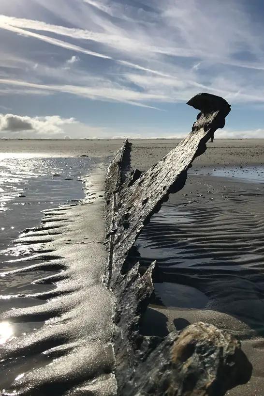
Shipwreck - in the Pirolatal lies a wreck of a plate-bottomed ship. It dates back to the time of the Continental Blockade (an economic blockade imposed on the United Kingdom in Berlin in 1806). Cannonballs have even been found on the partially exposed ship. However, the wreck is not always visible and is heavily silted up.
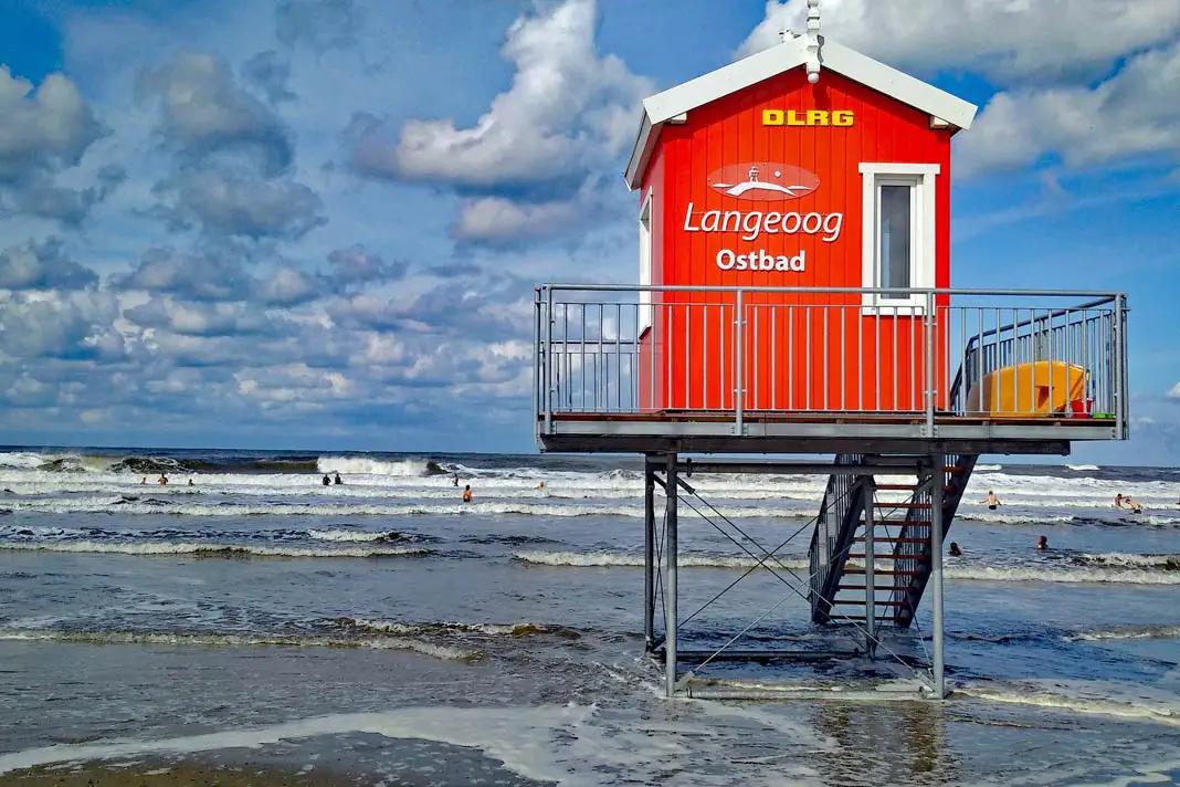
Bathhouse on Laneoog - Sea Rescue
Excursions and walks
Flinthörn nature trail - In the nature park, you start on the Flinthörn dike. The path leads you to an observation platform. Then you walk on to Flinthörn beach.
Walks in the island forest - this forest was created on the former military airfield after the war. Today you will find many hiking, cycling and riding trails there.
High promenade in the Kaap dunes - the dunes lead to the Heerenhus dunes, followed by the Pirolatal. This is followed by the Meedland
Boat trips around the island
Weather on Langeoog
The climate on Langeoog is quite mild in winter, but cooler in summer. The average temperature in summer is only 16 degrees. Only seven days a year do the temperatures climb above 25 degrees.
8. Spiekeroog
The East Frisian island of Spiekeroog is an official North Sea spa and is also part of the Lower Saxony Wadden Sea National Park. Spiekeroog has an unusually large number of trees for an East Frisian island. This earned it the name Green Island.
Getting there
The island is connected to the mainland, the Neuharlingersiel siel harbour, by ferry.
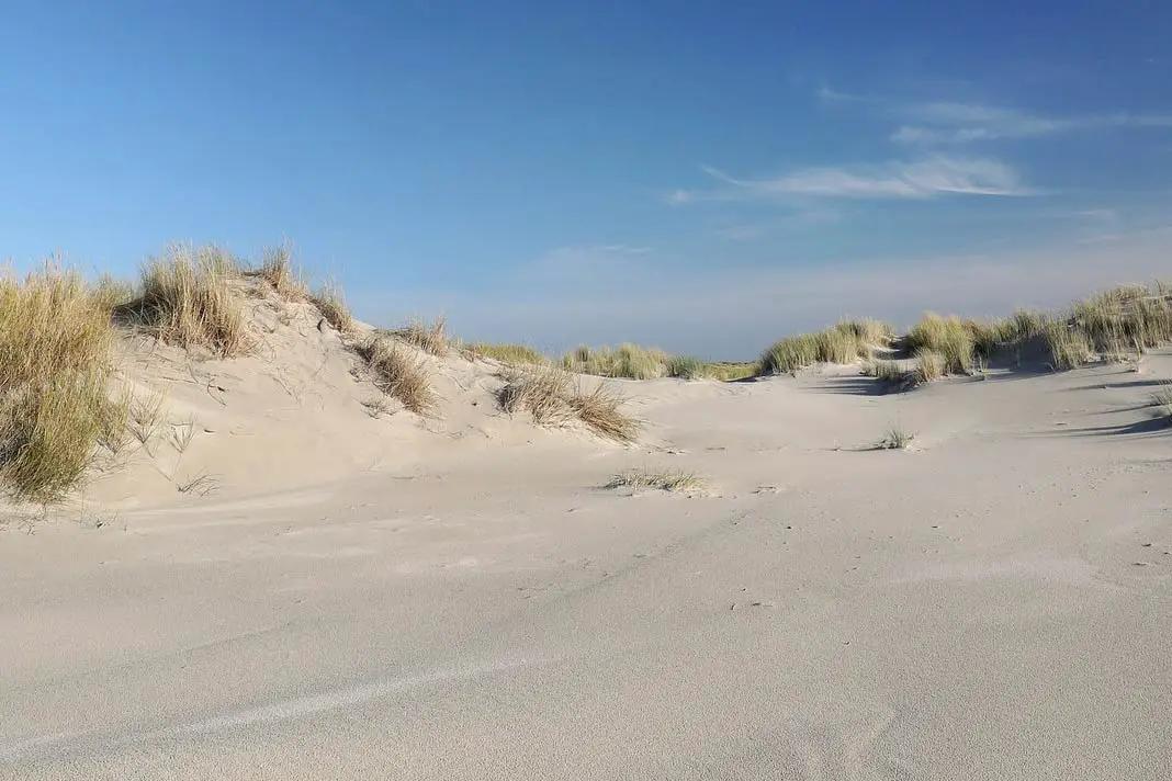
Dunes and beach on Spiekeroog
Top sights on Spiekeroog
Ostplate - here you will find beautiful, wide sandy beaches and primary dunes. This is one of the most important areas for birdlife on the East Frisian Islands.
Norddünen - here you will find birds such as the short-eared owl, hen harrier and marsh harrier.
Old island house - it is the oldest house on the island, built in 1705, and has a so-called floating roof.
Old island church - it has been there since 1696, making it the oldest church of all the East Frisian islands. In the church there is a Pietà (vesper picture), which is said to be from the landing of a ship of the Spanish Armada in 1588.
Wittbülten National Park House - in the environmental centre you can learn all about the island, the mudflats and the sea
Spiekeroog museum horse-drawn tramway - it runs between the railway station and the Westend from April to September
Wreck of the Verona - an English steamship stranded on Spiekeroog in 1883
The wreck of the Verona on Spiekeroog
Excursions and walks
Guided tour of the mud flats in the National Park
Boat trip to the seal banks, duration 4 hours, 15.50 euros for adults
Thalasso therapy trails - designated on the island - improve fitness
Dune walk - starts in the east of the island village, 4 kilometres long, takes about 2.5 hours
Excursions with the Wittbülten Environmental Centre(website)
Weather on Spiekeroog
The weather on Spiekeroog also differs in subtle nuances from the other islands. In the summer months the maximum temperature here is 20 degrees. In the winter months it stays above 0 degrees during the day with mild temperatures.
9. Juist
At 17 kilometres, Juist is the longest of the East Frisian islands. But it is not only the longest, it is also the most beautiful sandbank in the world, according to its own claims. The island is divided into Westdorf and Ostdorf and the village of Loog.
How to get there
You can reach Juist by ferry from the mainland. It departs from the Norddeich Mole railway station and pier.
Top sights on Juist
Coastal Museum - here you can find out everything about the history of the island and the baths, as well as about settlement history and nature.
Juist National Park House - where you can find out about the National Park. The house is located in the old island railway station on the spa square. The skeleton of a minke whale on display is particularly interesting. At nine metres long, it is very impressive.
Siebje House - originally preserved and furnished island house dating back to 1811
Historic spa house - the white castle by the sea is not called that for nothing. The palatial building was opened as a beach hotel in 1898. The dome, modelled on the Reichstag in Berlin, is particularly striking.
Water tower - the 13-metre-high tower stands on a 22-metre-high dune. It can be seen from afar. It was built in 1928.
Memmertfeuer - small lighthouse
The Memmertfeuer lighthouse on Juist
Excursions and walks
Kurpromenade - it leads through the dunes above the main beach. It starts at the "Schoolpad" beach access in the west and ends at the "Karl-Wagner-Straße" beach access in the east. The promenade is 1.5 kilometres long and offers great viewing platforms.
Hammersee natural monument - the largest freshwater lake in the North Sea islands. It is an important feeding and resting area for insects and birds.
the Bill - Juister's west end is a large sandbank. Here you can watch thousands of migratory birds. Trespassing is only permitted on the northern edge and only at low tide. Caution: quicksand
Kalfamer - this sandy section is located at the east end of the island. The Kalfamer is an important bird and breeding area. Only with guided tours, otherwise only from 1 November to 31 March on approved paths.
Weather on Juist
On Juist, spring starts two weeks later than on the mainland. This is due to the North Sea climate. The summers are quite cool, the winters mild and the humidity high. In 2010, by the way, the island was the sunniest place in Germany with many sunny days.
10. Langeneß
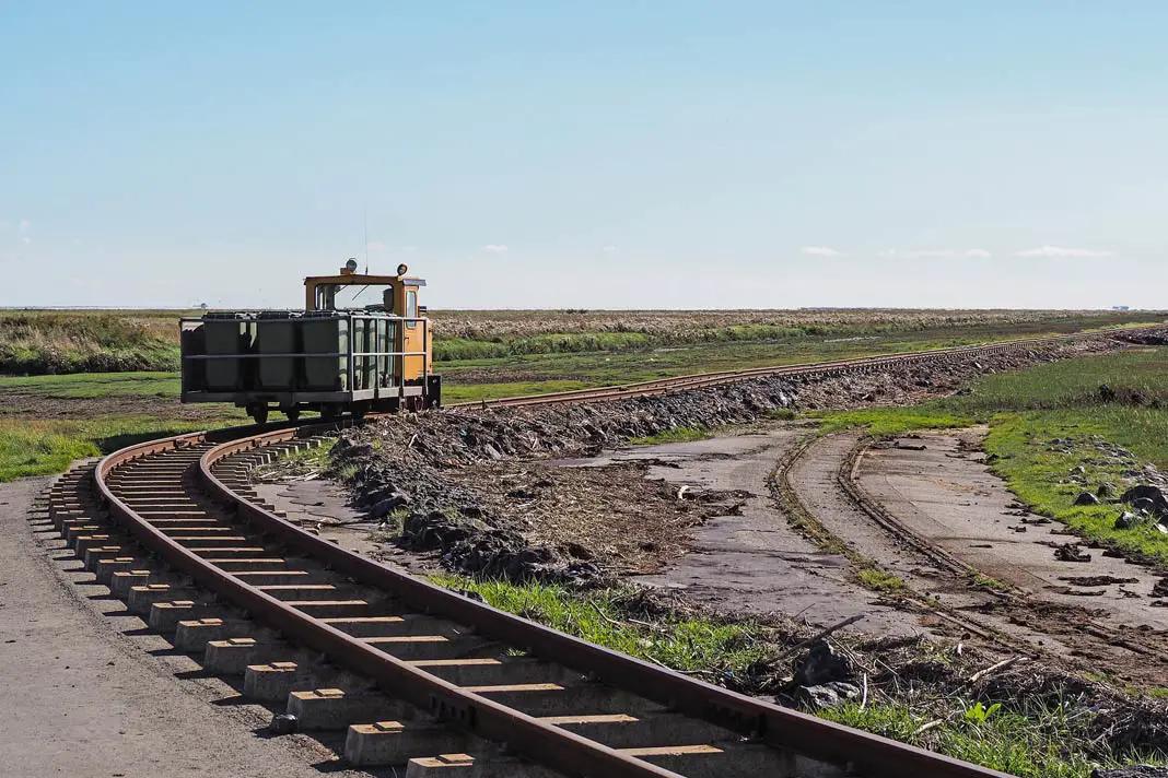
Langeneß is a so-called Hallig. The Hallig is connected to another Hallig, the Hallig Oland. The so-called Lorenbahn runs between the Halligs and connects them with the mainland, the town of Dagebüll. As the Hallig is divided into two areas, Hallig Langeneß and Hallig Oland, it also has two postcodes. This makes it the smallest municipality in Germany by population with several postcodes.
The Lorenbahn on Langeneß
The island has been the setting for several crime novels. For example, the Hallig novel Godber Godbersen by Elfriede Rotermund. The Sönke Hansen crime novels by author Kari Köster-Lösche are also set on Langeneß.
Langeneß is probably more suitable for a day trip. But you can also spend the night there. Important to know: there is no grocery shop there. The island is supplied once or twice a week.
How to get there
You can either take the Lorenbahn or the ferry. The ferry goes from Langeneß to Wittdün on Amrum via Hallig Hooge to the ferry port of Schlüttsiel in Germany.
Top sights on Langeneß
Nordmarsch Lighthouse - in the west of the island, the lighthouse stands on the old Peterswarft. It was built in 1902 and is 11.5 metres high, but not accessible.
Captain Tadsen Museum - in the original Hallighaus you can admire the furnishings and learn more about the island. It was built in 1741. Guided tours possible, Monday to Saturday at 13:30, duration approx. 25 minutes.
Bockmühle Ketelswarf and replica of the sail lore
Halligkirche Langeneß - open throughout, guided tours for groups possible
Friesenstube - private museum on Honkenswarf, guided tours all year round Tuesday and Thursday at 10:30 a.m.
Church Hallig Oland - on Oland you can see the church with historical furnishings. The graveyard with the talking gravestones is worth a visit, as is the freestanding bell tower
Oland lighthouse - it is the only thatched lighthouse in the whole of Germany.
Excursions and hikes
Round walk from Rixwarf - this walk takes you past the lighthouse
Guided tour of the Hallig - register with the Wadden Sea Protection Station. The guided tour departs at 12:00 from Rixwarf.
Mudflat walks on Oland
Weather on Langeneß
In the summer months it stays relatively fresh on Langeneß with highs around 18 degrees. The winter months, on the other hand, are relatively mild.
11. Wangerooge
Seen from the air, Wangerooge looks like a seahorse. Its tail is the island's long sandbank. Sand is a good keyword for Wangerooge. For in the north there is a three-kilometre-long sandy beach.
In the east - in my picture with the seahorse its tail - it is a three-kilometre-long structure of sand deposits. In the west there are two more beaches, half a kilometre and one kilometre long.
Getting there
Take the ferry from Harlesiel across to Wangenrooge and arrive at the western jetty. The locals also call it Cannon Bridge.
Top sights on Wangenrooge
Lagoon - this is a saltwater lake that was created in 1912 and is now a breeding and resting place for many birds
Café Pudding - it is considered a landmark on the island. On the round dune hill where the café now stands, a beacon was erected as a sea marker in 1855. During the Second World War, the hill became a bunker. Today it is a café
Island Museum - it has been located in the Old Lighthouse since 1980. You can learn all about the island's history, the origins of spa tourism and see a collection of amber.
Old lighthouse - the red, eye-catching tower was built in 1856. Today it is 39 metres high. In front of the tower is a narrow-gauge tender locomotive from 1929. You can also marvel at the old Wangeroog lifeboat Gesina from 1971 to 1981. In the top is the registry office
West tower - this huge tower was built in 1932 in honour of the youth. It is 56 metres high and has 8 storeys.
Excursions and walks
West dike and Neudeich - both are in protection zone 1. visitors can only take a look at the animals and nature here on the dike paths
Guided mudflat walks
Weather on Wangenrooge
The weather on Wangenrooge is relatively mild all year round. In summer the maximum temperature is only 19 degrees, but in December it can be a mild 5 degrees.
12 Baltrum
Baltrum is the smallest of the East Frisian islands and also a dune island. The painter Paul Klee came to the island in 1923 and painted 16 works there. These have since been divided into an extra creative phase and stylistic epoch of his North Sea sojourn.
Baltrum is car-free and bicycles are not allowed. There is also no bicycle rental on the island.
Sunrise on Baltrum
How to get there
If you feel like it, you can walk to Baltrum. You start at the harbour in Neßmersiel. A guided hike takes about two and a half hours at low tide across to the island. The ferry ride takes 30 minutes.
Top sights on Baltrum
Local history museum in the old customs house - the house is a so-called Bummerts - a special form that only exists in East Frisia
Baltrum National Park House - the information centre is all about tides. Since 1987 it has been located in the former shed of the Baltrum Line shipping company.
Old island church - built in 1826, it is the second oldest surviving church on an East Frisian island. In front of the church is an old wooden scaffolding in which the bell is hung.
Rose garden - this small green area in a small pine grove is very popular
Island church on Baltrum
Excursions and walks
Baltrum tide path - this nature trail is extremely popular and about seven kilometres long. It starts at the tidal flats at the harbour, goes over the coastal defence installations, across the beach, over the dunes through dune valleys, to the Heller meadows and ends at the Baltrum National Park House.
Weather on Baltrum
There is a lot of humidity on Baltrum. Just sea air. The warmest months are July and August with up to 21 degrees. But September and June are also warm months with 18 degrees. Winters are surprisingly mild with 7 to 9 degrees in November and December. The coldest month is February. Here it can get 2 degrees chilly. But you see - these are moderate temperatures.
13. Hooge
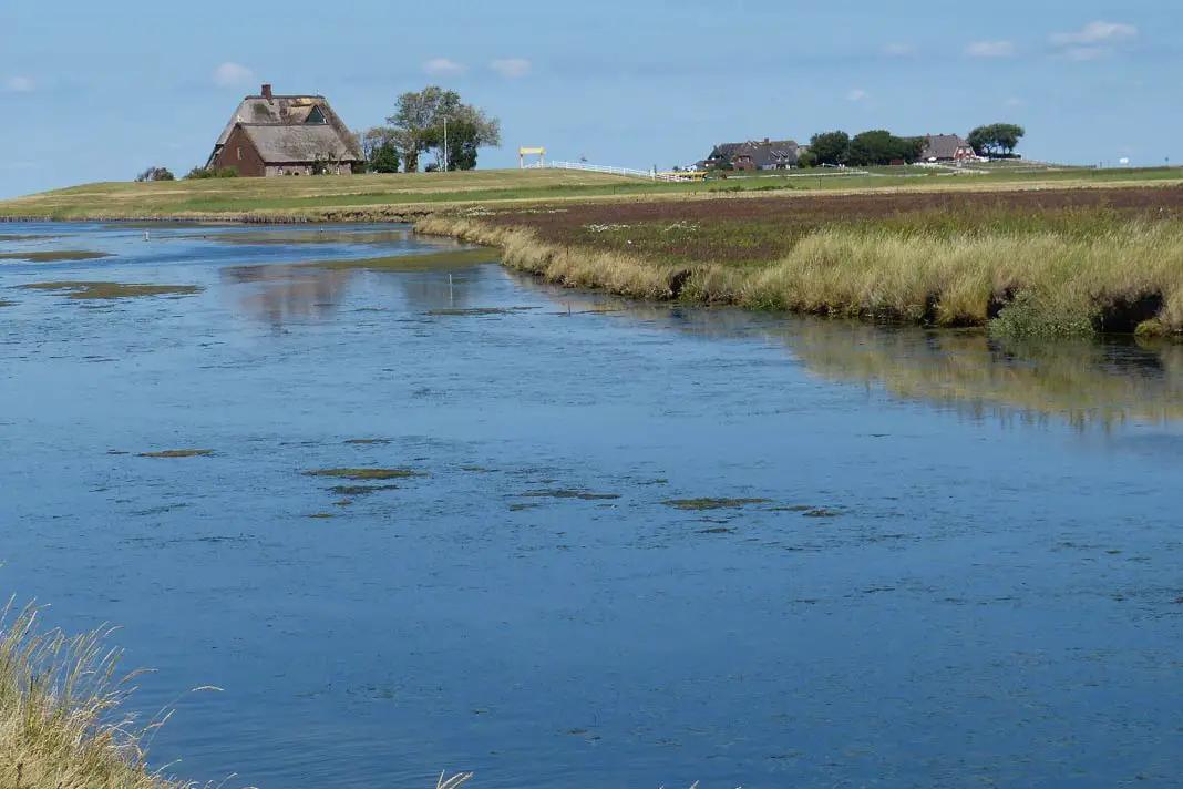
Hooge is a Hallig. The special thing about the Hallig is that it is surrounded by a stone dike. This means it is quite well protected from storm surges. But the 1.20-metre-high dike does not always keep out the floods. Then the Hallig is land under water.
The people live in so-called terps with several houses. Holiday flats can also be rented here. The Hallig has 90,000 visitors a year. It lives from day trippers.
How to get there
You can get to Hoogen from the mainland port of Schlüttsiel. Most visitors, however, make day trips to the Hallig. Ferries and excursion boats come via Langeneß, Amrum, Nordstrand, Föhr and Sylt.
Hooge - a beautiful Hallig in the North Sea
Top sights on Hooge
Königspesel - an old, originally furnished Frisian parlour. It dates back to the 18th century. The name comes from the fact that the Danish King Frederick VI spent the night here.
Museum of local history - set up by a former mail boatman
Hooger Wattenmeerhaus - it is the Wadden Sea Protection Station and natural history information centre. It is located on the Hanswarft in the New Bigger House
Friesenpesel - a restaurant furnished with historic Flemish tiles
St. John's Church - the old church from 1637 is located on the Kirchwarft. It still contains furnishings from the destroyed Osterwohlde church. The whale door leading to the pulpit is particularly worth seeing.
Excursions and hikes
Mudflat hike on the island - duration 2.5 hours
Exploring the island on foot
in April and May the brent geese come and settle on the island
Guided mudflat walks to the uninhabited Hallig Norderoog and to the sandbank Japsand
14 Heligoland
Helgoland is one of the best-known North Sea islands and Germany's only high-sea island. The island broke off in 1721. Since then, a smaller dune has been located near Helgoland. It also counts as an island.
1 March is a public holiday on Helgoland. It commemorates the re-release of the island by the British in 1952.
Arrival
Every day, seafaring ships from the mainland sail to the island of Helgoland from various ports. It is a popular day trip destination. It takes a good two hours to get to Cuxhafen by normal ship. The catamaran is faster, taking only 70 minutes.
One attraction is the so-called disembarkation. From the seaside resort ship, you go onto a Börteboot. There is room for 40-50 passengers. They take you to the landing stage on Helgoland.
Top sights on Helgoland
Lange Anna - that's what the Nathurn Stak is also called. This surf pier is 48 metres high
Lummenfelsen - an impressive cliff overlooking Lange Anna. To the north, west and southwest you will find steep cliffs on Helgoland that are about 50 metres high
Pinneberg - the highest elevation on the island at 61.3 metres. The hill even has a summit cross
Bread Hörn - a cliff
Düne - the dune that once broke off from the main island is a popular bathing island. You can also find grey seals and harbour seals there.
old mulberry tree in the upland
remains of the old bunkers from the World War - about 400 metres can be visited on guided tours
lobster stalls in the Unterland - colourful former fishing workshops
Museum Helgoland - there in the museum courtyard you will find two replica lobster stalls, as well as a small James Krüss museum. A letter by Astrid Lindgren is also on display here.
Radio tower - a remarkable steel lattice construction with a triangular cross-section.
Lighthouse - it has the brightest German light. It is visible for 52 metres
Here you can find more information about the most beautiful sights on Helgoland.
Excursions and hikes
Hike to the sea bird colony and to Lange Anna
Hike around the whole island - you will come across all three levels, the Unterland, the Mittelland and the Oberland
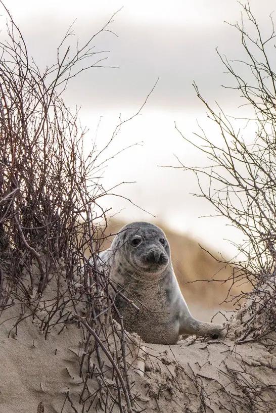
Isn't this grey seal on Helgoland cute?
Weather on Helgoland
With an average of 2 degrees in winter, Helgoland has the mildest temperature in Germany during the winter months. On the other hand, there is often fog in winter. In summer, temperatures do not exceed 20 degrees. The weather means that there are fig trees and an old mulberry tree on the island.
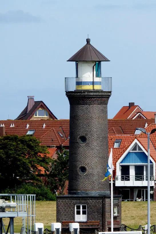
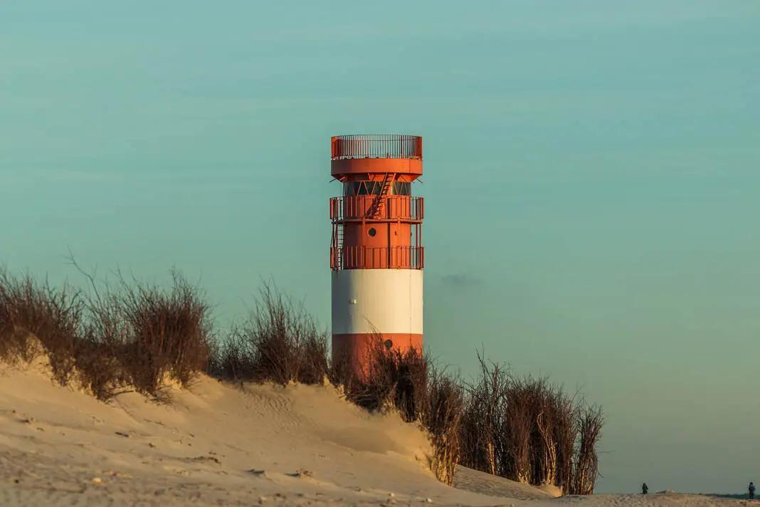
A lighthouse on Helgoland Facts about the North Sea Islands
Sylt is the largest North Sea island with 99.2 square kilometres. The next largest is Föhr with 82.9 square kilometres and Pellworm with 37.4 square kilometres.
The smallest islands are Baltrum, Wangerooge and Helgoland
each island has slightly different weather conditions
in general it is not hot on the islands in summer, but the winters are mild
More exciting North Sea articles
On the following travel blogs you will find even more exciting articles about holidays at the North Sea:
"Wadden hiking to Schiermonnikoog: adventures in the Wadden Sea" on Janna - Slow Travel & Microadventures.
I hope I was able to whet your appetite for a trip to the North with my article about the German islands in the North Sea. The range of activities for active holidaymakers, but also for people who want relaxation and wellness, is huge and perfect. If you are still looking for hotel tips or camping ideas, you can do so on hotel websites like booking.com.
If the Baltic Sea also appeals to you, you can find more impressions for holidays and relaxation on the Baltic Sea in our article on the most beautiful Baltic Sea islands. If you want to travel to the Baltic Sea with your family, then take a look at the most beautiful Baltic Sea tips with children.
 "/>
"/>